Tuesday, November 1, 2011

PEACE AND SERENITY ON THE CUMBERLAND RIVER

Recently, one of my friends who reads this dribble asked something along the lines of, "Where the hell are you going?"  We, we are cruising on the Cumberland River on our way to Nashville, yes, Nashville, Tennessee.  Why are we going there?  Because we can.  It's definitely a side trip off the normal "loop route", but since the beginning, we have not necessarily always followed the normal loop route.  We have done a number of "side trips" so to speak.  We went to Philadelphia, and that was a side trip.  We went to Washington DC, and that was a side trip.  We went to Providence, Rhode Island.  That was a serious side trip.  For that matter, the normal Loop route doesn't go to Key West, but we went there.  So why do we do these side trips?  I don't know how you can get this far and not.  So there it is. The best part of it is that our great friends Jodie and Barry have made a couple of these ridiculous side trips with us making it even more fun.   We are headed off the beaten path to, what we understand is a very cool city to visit, to play with my mom for a few days.  Yes, she's flying in to Nashville and we are going to have a great time.
 
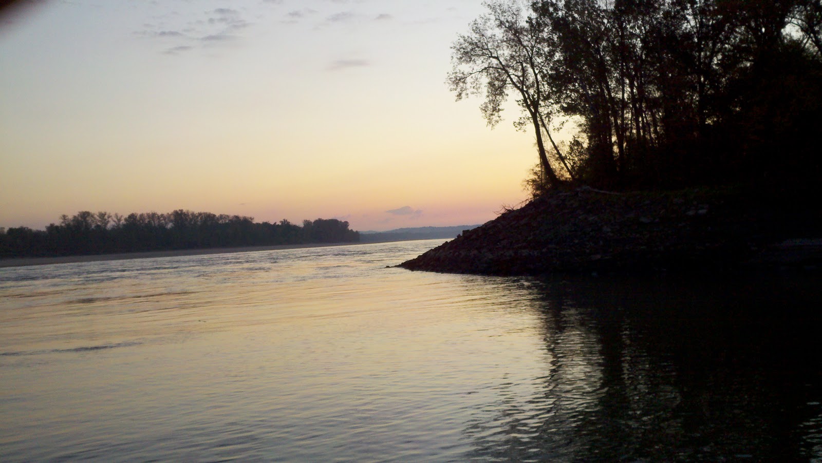
Yesterday, we crossed from Kentucky into the State of Tennessee.  There was not really much difference in the environs noticeable as a result of this crossing of a state line.  Nevertheless, it seems that the further up the Cumberland River we go, the prettier it gets.  We are moving roughly south east from GTB,  It sure isn’t getting any warmer.  The trees are all in the process of changing colors and now the leaves are starting to fall.  When there is a breeze and leaves are falling, it looks a little like a fantasy land.  It is very peaceful on this river.  There is little or no traffic and we have only seen two barges in the last 3 days.  There are a whole lot of different birds to see.  Of course, there are heron, eagles,  gulls, vultures, white pelican, and a number of other species I can’t identify, but which look very colorful and pretty.

Peaceful.  It is so peaceful in the anchorages on the Cumberland River, that when one of those copper colored leaves falls from the tree and settles on the water, it echoes.


It's ironic that in one of the most peaceful places on earth also exists one of the most violent.  Along the banks of the Cumberland River in Kentucky sits the Kentucky State Penitentiary which, as a rather dubious claim to fame, holds the record for the most executions to take place in a single day.


We also passed a place called Fort Donelson.  We'll try to stop and visit this place on the way back down the Cumberland.  It's hard because it's right next to the town of Dover which doesn't have a dock and there is no place close by to anchor.  We'll have to see what we can figure out.  Nevertheless, this is supposedly where there was a significant Civil War conflict involving a number of iron and timber clad vessels brought up the river by the Union folks.  When they came around the bend near mile marker 86, they saw a whole lot of cannons.  You have to sort of let your imagination run with this one.


Today, we will leave for Clarksville.  You may have heard of this town.  It was mentioned in a song by the Monkees in 1966 - Last Train to Clarksville. This was written by Tommy Boyce and Bobby Hart, a songwriting team who came up with many songs for the Monkees. Boyce and Hart wrote this as a protest to the Vietnam War. They had to keep this quiet in order to get it recorded, but it is about a guy who gets drafted and goes to fight in the war. The train is taking him to an army base, and he knows he may die in Vietnam. At the end of the song he states, "I don't know if I'm ever coming home."  Well, for what it's worth, there was never an intent on the part of the songwriters to reference Clarksville, Tennessee.  Actually, when they were writing the song, they were thinking about the name of a town that would sound good.  There is a town in Northern Arizona that Bobby Hart used to go through called Clarkdale.  Then, as the story goes, they thought Clarksville sounded even better.  So they used Clarksville.  It just fit the bill, so to speak. It just so happens that there was, and still is, an Air Force Base near Clarksville, Tennessee.  There is also a Clarksville in North Eastern Texas. It should be noted that, when this song was released, it went straight to number 1.  Here is a link so you can hear the song.  http://www.youtube.com/watch?v=VUUSdvwEC_Y

 More from Clarksville on the Cumberland.....on the way to Nashville.

It was really foggy when we were getting ready to leave our peaceful
anchorage, delaying our departure an hour or so.


Clarksville was a cool surprise.  We had a beautiful day on the water and were planning on stopping in Clarksville.  There is a municipal dock there that is very inexpensive.  The city is very cruiser friendly.  The dock is right in the middle between the old historic downtown district with all the museums and points of interest to the right, and all the restaurants, and, of course Harbor Freight Tools, to the left. 


An absolutely beautiful day on the water.


 The city is The Montgomery County seat.  So, when you walk in the downtown area, you see the courthouse, and all the other government buildings.  You first notice that they all appear very new.  Strange for a town that was founded in the mid 1800's, right?  Well, the plot thickens. 

In January, 1999, a devastating F3 tornado plowed into the city in the early morning hours.  It was dark out when it hit.  Fortunately only 5 people were hurt.  However, .  Virtually the entire city was wiped out. 

The tornado was on the ground for only 5 minutes, yet the damage was horrendous.  It ripped apart a 5 block area of downtown Clarksville and tore up buildings in Austin Peay State University. In the aftermath of the storm, Clarksville was said to resemble bombed-out London during World War 2. Bricks and glass were strewn everywhere. The photo editor of the Leaf-Chronicle newspaper, Fred Dye, said "It looked like somebody walked through with a broom and knocked over whatever else was loose enough to knock down."  There were 124 buildings destroyed and 562 buildings damaged. These figures included residential, commercial, government, public and buildings at Austin Peay.


Despite the devastation, the city has been rebuilt and restored. 


There is one very interesting building in Clarksville.  This is the Customs House. The 1898 portion of the Museum was originally designed for use as a Federal Post Office and Custom House to handle the large volume of foreign mail created by the city’s international tobacco business.  The importance of this building, other than its uses over the years, is in its architecture.  It is one of the most unique building designs around.  The building is very eclectic.  It incorporates several architectural styles including Victorian, Gothic, Stick, Queen Anne, Italianate, Romanesque, Flemish and Gothic.  It has highly pitched roof sections, topped with large eagles on the 4 corners, steep gabled windows and some rather elaborate terra cotta ornamentation.


Inside are a number of wonderful art exhibits as well as a series of exhibits demonstrating the community's heritage.  Of particular interest was an exhibition of sports memorabilia related to the accomplishments of local sports heroes.  There is a Nascar driver from Clarksville.  There is a mountain climber who is the youngest to summit Mr. Everest who is from Clarksville.  There is a female, black Olympic Gold Medalist from the 1950's who came from Clarksville. 

There is a great Civil War exhibition inside the museum that establishes a time line demonstrating how the Civil War played out in this area.  There is also a cool exhibit in the basement with several old transportation modalities and a demonstration of how tobacco is packed and moved.

My favorite exhibit was a series of oil paintings by a local artist.  Entitled "Tennessee Perspectives", the exhibit consisted of 40 to 50 paintings of landscapes across the state.  The paintings are all of different seasons.  Some are water views.  Others are true landscapes.  Either way, the work is very good and you leave with the sense that you have now seen what the state looks like from all different angles during all different times of the year.


Later that afternoon, we met some very nice folks who own and operate a most interesting boat.  The boat is called "Annie" and was hand built over a period of 16 years.  She is a 53 foot wooden river boat.  She is more than 20 feet wide, and draws 3.5 feet.  She is powered by twin 180 hp diesel engines and had two generators.  The galley rivals any land based custom kitchen and has all the appliances you could every want.  The boat is amazing  Check out this link and you can see a slide show of what the boat looks like.  http://www.jaysboats.com/annie.asp

Ron built this boat from the ground up using a set of plans he bought.  It is an absolutely astonishing work of art. 


We had a nice time in Clarksville, but had to move on as my mom is flying into Nashville.  We did, however, stop for the next night in the town of Ashland, Tennessee.  We tied the boat to a dock in front of a restaurant on the Cumberland river and then walked across the bridge to visit the town.  It would appear that Ashland is the home to the world's largest manufacturer of home based water heaters, as well as Tracker Boats.  In reality, other than that, there is not too much going on here in the seat of Cheatham County.  It is a pretty spot, though.  There is a Co-op, a home center, and a discount seller of beer and tobacco.  There is a McDonald's and a couple other fast food places.  However, generally, this is a working town.

Sections of rivers between lock and dam complexes are often referred to
as "pools" or lakes.  In our case, we just left the Barkley
Lake and entered the Cheatham Lake.  This is the Cheatham Lock and Dam.

That's us at the dock across the river from Ashland, Tennessee

That's Ashland.  That's it.  All of it.

Ashland City Hall, Courthouse, Government Center, Mayor's Office, District Attorney, etc. etc. etc.
We will be making our final leg to Nashville today.  As I am writing this, there is a storm that is about to move over us.  This is one of those storm fronts that will bring some furious rain and wind for a couple hours and then will dissipate as the front moves past.  I have no doubt that we will make it to Nashville today.  It just might be a little later in the day than originally planned as we will have to wait for this storm to pass.  It's nice being on a narrow river as the wind and rain will not affect the water like it would if we were on Lake Michigan.  However, we have to be wary of lightning when it is forecast.  A lightning strike could not only do very serious damage to the boat, but it could be deadly.  So, we'll stay put until the storm passes and then move along in its wake.

I'll write again from Nashville.  Bye Y'all.

Sunday, October 30, 2011

OHIO RIVER TO THE CUMBERLAND RIVER TO BARKLEY LAKE AND GREEN TURTLE BAY

My last post described our run down the Mississippi River.  At the end of the middle Mississippi, there is yet another confluence; that being with the Ohio River.  The Ohio River is another one of America's premier western waterways known for its commercial importance and its recreational opportunities.  The Ohio River goes all the way from its mouth in Illinois to Pittsburgh, PA!  While it sure would be interesting to do that run, it will have to wait.


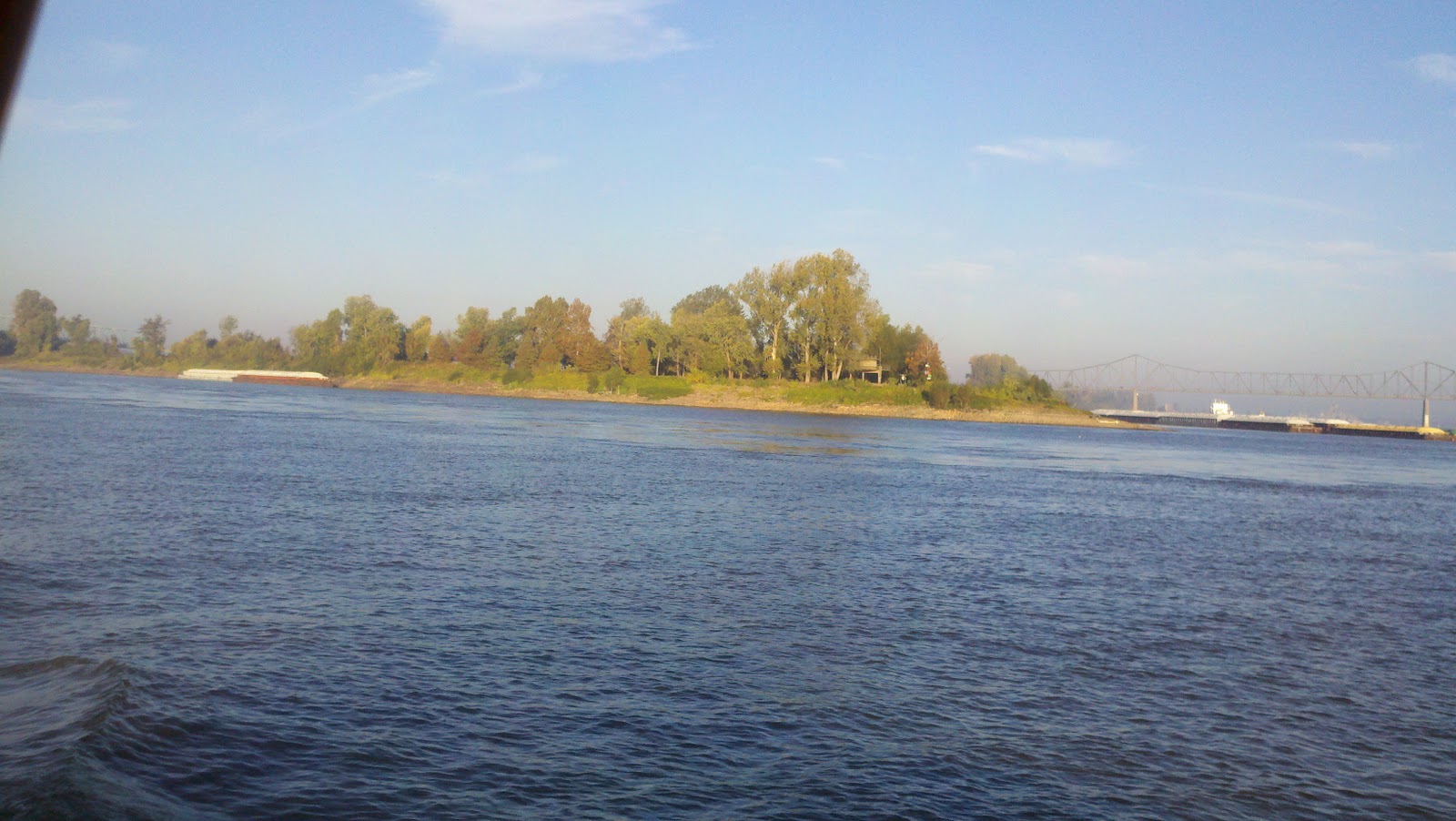
We left our very protected anchorage at Mile Marker 7 on the middle Mississippi, and headed out early.  Our goal was to make it all the way to Cumberland Towhead to anchor for the night.  We did.  The trip was long.  We travelled the final 7 miles on the Mississippi in an interesting low lying fog.  The sunrise was quite beautiful and it was quite cool out.  The colors were wonderful.  Things cleared up nicely, however, as we approached the confluence of the two rivers. 

The confluence of the Mississippi and the Ohio.  The Ohio goes to the upper left.

As we got closer, we knew a lot was going on nearby, or rather all around us.  The AIS screen was quite busy.  The barge companies like to use the mouth of the Ohio River as a "fleeting area".  This is where they line up and connect barge loads.  So, you have the middle of the river all congested with loads being stacked.  You have all these smaller pushers moving barges in all directions to be stacked.  Then you have the big towboats getting ready to connect to these huge loads.  Then sometimes, the big tows are turning their loads around.  This takes up a lot of river.  There are simply too many moving boats all around to try to keep track of them all.  I can only imagine how an overloaded Air Traffic Controller must feel with way too many planes moving around to possibly get them all on the ground safely.  So what you have to do is pick the ones that can or will affect you in the immediate future, and keep moving, dodging and weaving, and try to stay out of everybody's way.  Clearly, little fibreglass tugs like ours wouldn't survive any kind of a scuffle with a barge loaded with 1500 tons of river gravel.

Lookouts?

After the first couple miles on the Ohio, you get past the fleeting area and things really mellow out.  Unfortunately, we were travelling UP stream now, so the going was pretty slow.  I generally don't concern myself with speed.  Rather, I focus on fuel consumption which is a function of RPM's of the main engine.  If it gets ridiculous, I will make adjustments, but generally, I know what setting is most efficient, and I stick with it regardless of the speed.  On the Ohio River, however, there were sections where we were making barely 4 knots, so I goosed it up a little and settled for 5.5;  still pretty slow, but at least it feels like you are making some headway.

The Ohlmstead lock and Dam Construction Site

There were a couple other instances where we actually had to communicate with other traffic, but generally, it was a quiet run.  There are locks on the lower section of the Ohio.  The Ohlmstead Lock and Dam complex is under construction.  It's a massive project.  There's a lot more steel and concrete than you can certainly shake a stick at, that's for sure.  I think the engineers who design such projects are impressive.  But, I think the guys who make it happen are even more so.  Ok.  So, where do we start?  Well, boys, we've basically got to stop the flow of the Ohio River, or at least change its natural course, so we can get these here wickets in place.  Then, we have to pour about a billion yards of concrete to hold all this junk together.  Then, once that's done, we have to install a lock.  All of this before coffee, right?  Wrong.  It takes years to build these things.  I'm pretty sure the Ohlmstead project has been going on since the early part of 2007.  It looks like it's getting pretty close to done.  It is supposed to replace locks and dams 52 and 53.  We expected to lock up twice on the Ohio at 52 and 53, but alas, the water level was high enough in the river that the ACOE could lower the wickets and we could simply stay on the sailing/buoy line and go right on by. 

The confluence of the Tennessee and the Ohio.

By the end of the day, we were nearing the confluence of the Ohio and the Tennessee Rivers.  At this point, Kentucky was on the right and Illinois was on the left.  There was a huge amount of traffic in this area as, once again, barges are fleeting here depending on where they are going.  They may be coming off the Tennessee River and heading up or down the Ohio, or they may be downsizing for a planned run to Nashville on the Cumberland River, the mouth of which is only a couple miles up the Ohio from here.  So, once again, the stressed out Air Traffic Controller record was playing and the AIS screen was flashing like a traffic barricade, and we just kept on a rollin', trying hard not to get ourselves in a place we shouldn't be. 

Fleeting.

ahold of someone on the dredge.  I asked him what side he wanted me to slide by on.  He told me to just go around the anchor buoys.  Ok.  There are 4 of those.  Finally I clarified it for him by making reference to either the Kentucky side or the Illinois side.  Kentucky side it is. 

Once we passed the dredge it was clear sailing until we got close to the Cumberland Towhead.  There was this really big barge coming down the Ohio and heading right in our direction.  I got this guy on the radio and asked what side he wanted me to pass him on.  He says, "where are you?"  I said I was right off his starboard bow, about 3/4 of a mile out.  He said, he couldn't see anything because he had the sun in his eyes, but thought passing on the one whistle would be fine (pronounced "fan").  Ok, so here we go.  I get myself sliding over to the red side (reds on the right when going up river), and, for the love of god, this guy was not moving over.  So, I was really hugging the red side, before he finally flanked over a touch, and we passed with plenty of distance between us.  It wasn't until he had just about passed us when he finally came on the radio and said, "Ok, now I can see you."  Great!


Jumping Asian Carp.

Shortly thereafter, we made the Cumberland Towhead.  This is an easy anchorage that is plenty wide and plenty deep if you don't go too far to the left, or too deep into it.  It's basically a space between an island and the river bank.  You also have to watch out for trees that stick up from just under the surface.  Now that's not something you see every day back home.  Hey, just get it, OK?  Deadheads and stumps are simply a way of life if you drive a boat on a river.  What was really cool however was what happened as soon as we started letting out anchor chain.  All of a sudden, hundreds of fish (Asian Carp) started jumping all around the boat. I mean thousands of them.  It was like the water was boiling with all these big silver fish jumping and thrashing on the surface.  Then, as soon as the chain was deployed, they all disappeared.  It would appear they are susceptible to certain frequencies.  I'm pretty sure it was not the deep throaty thumping sound of the diesel engine, but rather the rattle of the chain as it made its way out and over the roller.  In any event, we had a very quiet night.  It was good, too, because it had been a very long day.


The next morning we woke up and leisurely made our way into the mouth of the Cumberland River.  We only had 32 miles to go, and only one lock.  Once you turn onto the Cumberland, you now have Kentucky on both sides of the boat and the environs change quite a bit.  You may recall me making mention of the fact that every time we cross a state line, things change so much.  Here is another example.  All of a sudden, the banks of the river, which is much more narrow than the Ohio River, were covered with the changing colors of fall.  It is strikingly beautiful.  It was an overcast morning, but every now and then, the sun would peak through and hit the trees on the bank and you would see an explosion of colors.  Then, there are the Kentucky "Dirt Farms" as we called them.  There is a lot of rock quarry work going on, at least on these banks of the Cumberland.  It's lime stone their digging here.  This lime stone is used in all things concrete construction.  We called them "dirt farms", because they look just like grain operations, but its rock and gravel coming down the conveyors and being dumped onto waiting barges.  We call those "produce barges."  We got stuck behind one of these almost all the way to the Barkley Lock.  He was making 6 knots and I was making 6.4.  There are no straights long enough to allow me to pass him given our speed differentials, so we just decided to "live there."  Unfortunately, it cost us an hour delay waiting at the lock as the lock master took him first.  I can understand that.  Waiting sucks where there is no place to tie up and they won't let you anchor in front of the dam.


 We finally made it through the lock, and by mid afternoon, we were making our turn into the channel that leads to the Green Turtle Bay Resort and Marina (GTB).  The best part of it, however, was the reception awaiting us at the dock.  For the first time in months, we got to see our friends Barry and Jodie again.  They were here, as well as the crew on two other boats we had met in the prior couple days.  They all were waiting for us at our assigned slip.  I cannot tell you how wonderful it feels to pull into a port and have a bunch of smiling, waving, and happy friends waiting for you.  It's the best feeling in the world.  It so feels like coming home after being gone for a long time.


We didn't need long to settle in.  We did, however, need the courtesy car to get to Paducah so we could replenish our booze supply.  We were bone dry......just like the county in which GTB sits.  While you have these great restaurants here in Grand Rivers, you have to BYOB.  So, we got into town and stocked up on our own B's.

Here's Barry and I driving the barge simulator at the River Heritage Museum.


Later that afternoon, a bunch of cruisers met at the gazebo and had a 4:30 happy hour complete with munchies and cocktails.  We met some fine folks from Minnesota, we reunited with the crew of Paradise that we met at Hoppies.  We met a very nice retired police lieutenant from Minnesota who plays the bag pipes and runs about all over the place on a little key lime colored scooter, and we met a couple from Canada heading south for the winter on their Hunter sailboat.  Their mast was awaiting them in Gulf Shores, Alabama.......they hope.


So, the next day, we had a chance to get the courtesy car again, and headed for Paducah.  What a cool place.  Really, we only hung out in the downtown historic area where there are fun restaurants, antique stores, museums, and a really great bakery.  The folks here are very friendly and accommodating in every way they can be. Then for dinner, we went to Patty's for their famous 2 Inch Pork Chops.  Let me tell you, that was the finest pork chop I have ever had.  The food was very good.  The next night, however, was even more special.

There are mural walls all over Paducha.  They are not publicly funded.  If you have an idea, you can have it approved and you can put your mural on the walls.  They are all very beautiful and tell the story of Paducha and it's central life on the River.

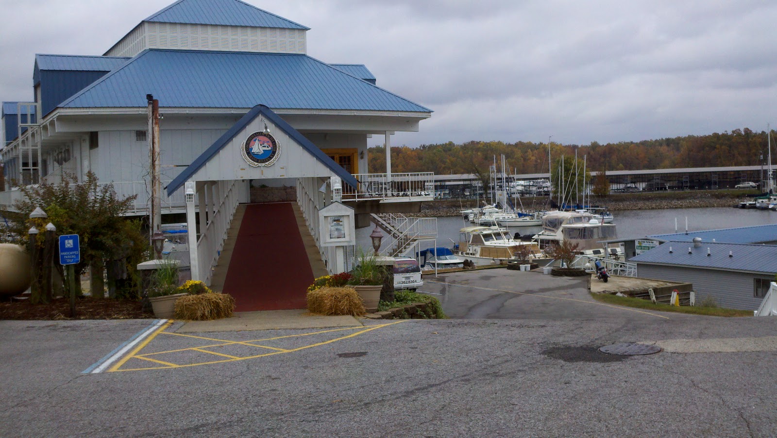
We went with Barry and Jodie to a place called Sugar and Spice.  There is a lady there named Marylin who cooks for only 10-12 people per night.  You have to call and make a reservation.  We were able to get in, and, as it turned out, we were all by ourselves.  As it is October, Marylin was preparing Oktoberfest specialties and the menu included the following:  Wienerschnitzel, Yaegerschnitzel, Rouladen, and Saurbratten.  Each dish came with these really good potatoes, sour kraut, and spitzel.  The food was amazing.  Between courses, Marylin would come to the table and regale us with stories about the history of this place called Grand Rivers, and the people who lived and did business here.  She told us stories about the early days of the marina and resort as well as the Commonwealth Yacht Club here on the premises.  Again, we BYOB'd and they provided the glasses.  This was an outstanding experience.


That's me and Marylin.  She puts on cooking classes for passing cruisers and teaches the kids how to make cookies.
 Over the last couple days, we have also been accomplishing some boat projects.  Brenda had had a lingering cold and is now feeling a little better, but I was able to get that nasty moustache off the hull that we had been accumulating in the tanic waters of the ICW and dirty harbors over the last almost 7000 miles.  I walked up to the chandlery and asked for some advice.  The guy there turned me on to this stuff called "On and Off".  This stuff is caustic!  Well, it should be since it is basically pure acid.  This stuff smokes when it hits water!  Anyways, it's as easy as spray on and hose off, and the moustache disappears.  Finally, Abreojos looks almost human again.

I never imagined that quilting involved such amazing works of art.
Last night, we went to the Halloween Party at the Commonwealth YC.  We were able to put together some costumes at the last minute with a little help from the WalMart in Paducah.  It was a nice crowd.  The food was pretty good and the music was excellent.  We dined and danced and BYOB'd again.  It was a nice evening.


Today, we will be leaving here and starting what will be a 5 day journey to Nashville, Tennessee.  My mom is flying out and we will have her aboard for a few days in Nashville.  We are going to take our time getting there as we have only 160 miles and 5 days to get there.  So, who knows what we will discover.

 
In the mean time, bye for now.

Tuesday, October 25, 2011

OUR RUN DOWN THE MISSISSIPPI

This part of the cruise is quite a challenge.  Open water, even on the Great Lakes, is comparatively easy to negotiate.  There, the weather is the biggest factor.  On the rivers, however, there are several additional factors that have to be taken into consideration including, but not limited to, the stage of the river (meaning the amount of water flowing and it's depth levels in various "pools"), the speed of the flow, the width of the river, the depth of the water, the curves (meandering and hairpin), commercial traffic, the weather, and turbulence.  Each of these factors engage you in different ways every mile of the way.  Then there is the scenery. 

Our Lady of the River - On the Mississippi just past the confluence of the Illinois.
In the last couple of weeks, we have travelled from the Great Lakes, through Chicago on the Chicago River and the Chicago Sanitary and Ship Canal, to the Illinois River for a few hundred miles, and finally, we are, once again, on the Mighty Mississippi.  We have been on the Mississippi River before, when we visited New Orleans.  This time is quite different, however.

Inside one of the two locks we went through on the Upper Mississippi.  We're in there
with a larger trawler called Paradise, and a smaller "vessel" called Caught You Lookin.
The last time we were on the Mississippi, we had left a bulkhead at Boomtown Casino near Lafitte, Louisiana, and travelled several miles through the heavily industrial Harvey Canal, through the Harvey Locks, and out onto the Mississippi for a total of 6 miles, down and around New Orleans, and then into the Industrial Lock and the Industrial Canal, all the way to Seabrook Marina, just off Lake Pontchartrain.  The total run on the Mississippi River lasted less than an hour.  This time, we will travel over 210 miles on the Mississippi and spend approximately 3 days doing it.


There are, of course, several major differences between this trip and the last, without even mentioning the duration.  And, what also makes this trip down this river different from other river trips, is the absolute lack of services or marinas for so many miles.  Certainly help is available if you need it.  But, it will be a long wait in a rather inhospitable environment.


You really begin to notice that you are not in Kansas anymore, so to speak, when you sizzle past the confluence of the Mississippi and the Illinois Rivers.  You actually pick up quite a bit of speed depending, of course, on the water level and the river stage.  We are experiencing somewhat of a lower stage and lower water than has been the norm this year.  While we still have plenty of water under the boat, you can see that the water levels have been much higher.  One clue is the bollards at any dock you see along the river banks.  The bollards tower 30+ feet high over the surface of the water.  In other words, the docks attached on floats to the bollards can be as much as 30+ feet higher.  This would mean that the river would seem much wider and certainly, much deeper.  I would expect that in some cases, the trees you see on the banks now might very well be completely submerged at a higher stage.  Also, the fact that many of the houses that bank the river are on stilts and set back quite a way from today's river bank.


With higher water, comes higher speed of flow.  Now, we are experiencing a down-bound current speed boost of 3-4 knots.  This means that, at the rpm setting I would normally use and achieve 6.8 knots, we are travelling at 9.8 to 10 knots, and sometimes a little more.  What this means, among other things, is a huge savings in fuel.  I can travel many more miles and not consume any more fuel.  Nevertheless, as many of you land lubbers might not understand, things happen faster at higher speeds.  So, you are probably thinking to yourself, how much excitement can you really generate at 11.2 mph?  Remember, that you are not in a 6000 lb car moving 65 on a flat, paved road with lanes.  We are moving down a curvy river in a 52,000 lb boat with a single propeller, a full keel, and no brakes.  Trust me, things happen faster.  Also, just because you turn around, doesn't mean you are not still moving down river.  Unless you really power up, you might as well be a dead log floating down in the current.  Speaking of dead logs, now, unlike cruising on the Mississippi, there's something you don't see coming at you on too many of America's highways and byways. 

Standing waves.....surfable.
For example, yesterday, we passed an anchorage on our way to another.  Our friends on Paradise, radioed and said they had actually poked their nose into this anchorage and said it was very good.  So, in stead of going to our planned anchor spot, we decided to follow their lead.  They have a lot more experience running on rivers than we do, so I was not about to look that gift horse in the mouth.  Thus, we turned around.  Before we turned, we were rocketing down river at nearly 11 knots.  When we turned up river, our speed dropped to 2.3 knots.  It finally got back up to 5 knots, but it took a while and it took a lot more energy to be sure.


 The Army Corps of Engineers saw fit to help the Mighty Mississippi on her course by installing what are known as wing dikes in the bends.  The idea was to help divert the flow into the center of the river thus keeping the center channel clear and deep and to preserve the banks from erosion.  Well, from what we have heard, this has not worked out as planned.  The result has been the development of massive sand bars in the river, so big, you could land a plane on on some of them.  Then, the ACOE, in their inimitable wisdom, saw fit to try to counter act this situation by installing these surface dikes, on the opposite bank of the curves and in some of the straights.  These, too, were intended to help preserve the banks, and divert flow.  Well, preserve the banks, they do.  In fact, behind each of these dams, there is shoal water.  It is important to know this as these would appear to make a good place to stay to get out of the extreme current.


So, the idea is that you can generally poke your nose in behind one of these wing dams and drop a hook.  Thus, you would be anchored out of the channel, and in an area where the river current might not be so dramatic.  Unfortunately, the area behind these wing dams can get very shallow very fast.  It is important to keep in mind that the water level on the Mississippi can fluctuate up to 3 or more feet per day.  This is important to keep in mind if you anchor in 6 feet of water.  Moreover, you might go over a sand hump that is 5 feet deep into a deep spot with 10+ feet of water.  If the water level drops 3 feet over night, you better have a shovel as you are not going to get out of the pool.  It's a lot to keep in mind.

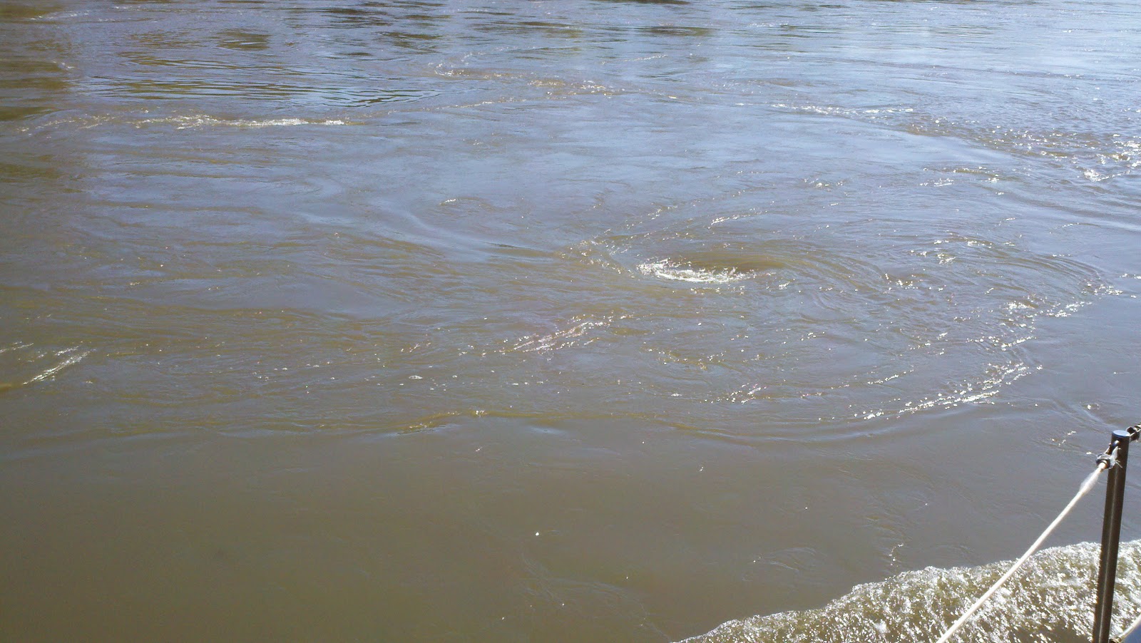
The other thing these bank and submerged wing dams create is turbulence in the bends.  The water can go from quite flat to quite violent in a very short period of time and then back to flat again.  We have seen whirlpools that were 20 feet across and 3 feet deep in water that is close to 50 feet deep.  Think of these as really big pot holes.  It's almost a good thing they are that big so they are easy to see.  My practice is to take the boat out of auto pilot and rest my hand on the throttle.  When you cross these, certainly the momentum of a boat this size and its ultimate inertia through the water helps.  Generally, there is a sensation like the back of the boat is spinning out.  It's like losing traction with your back wheels when on an icy road and the back end of the car goes forward of the front end.  As I said, given the boat's size, weight and inertia, we merely sense these whirlpools as a minor spin out and keep going.  Nevertheless, it gets your heart a beatin' when you encounter these for the first time.

Nice little whirlpool.
 So, you've got current and turbulence and all the things that seemingly go hand in hand with these, and then you've got the commercial traffic.  I thought I had seen a large barge when we were on the Gulf.  Nothing, however, can compare to the traffic we have seen on the Mississippi.  Yesterday, for example, we saw a tow boat (actually, these push as opposed to pull, so they are called "pushers" or "shovers" or just plain "tow boats") barge called the Mary Ellen pushing 34, that's right, 34 fully loaded regulation barges.  The load was stacked five across and seven deep.  OK.  Let's do the math.  The barges are 125 feet long and around 40 feet wide.  The tow boats are around 125 feet long.  So, that's about 1000 feet long, and 200 feet wide.  If you assume each loaded barge carrying coal weighs in at 50,000 tons (and I think that's light), that's about 1,750,000 tons.  Now consider that these 1500 ton barges are pushing almost 2 million tons of material UP RIVER.  You can only begin to imagine the power of the tow boats and their 6 engines.  I could be off on my load numbers, but it's a whole lot of load.  Frankly, I have less concern meeting one coming up river than having one come up behind me going down river.  I can't even begin to imagine how you would stop such a load going down river.  Again, the power of the tow boats is beyond extraordinary. 

34 Loads.  That's a big one.
Moreover, the skill of the captains is tremendous.  One of the things I have noticed consistently having spoken to hundreds of tow captains on the radio over the last year is how laid back these guys seem.  It's as if they are in a constant state of mellowness.  OK, two things.  First of all, if they are pushing a load up 1000 miles of river, they are moving at an average speed of 3-4 knots for days at a time.  I guess, there is no point getting excited because it's certainly not going to change anything.  Second, nothing happens quickly.  It's as if your world moves in constant slow motion.  Nothing is going to change that.  So, there really is no point in getting excited.  In many cases, Sir Issac Newton is in the driver's seat and you, as the skipper of a tow boat, are giving him suggestions by tweaking the stick on one of the six mighty engines 4 stories below your seat.    It's not really fair to compare these guys with fighter pilots.  Such a pilot has to make decisions in less than a split second when hurtling through the sky at Mach 2.  Tow boat pilots, on the other hand, have to start thinking about a turn a week in advance.  Then, while fighter pilots don't have to usually concern themselves with the presence of "trawler like" pleasure craft airplanes in their lanes, the barge captains do.  For us, it's simple - AIS.

I have spoken of AIS before so I will not repeat myself, but if you do not have it, then you are taking a lot of risk running the Western River System.  Also, you are missing out on the nice conversations you have with the tow captains.  You see, they are much more likely to talk to you when you call them by name, as opposed to, "Calling that northbound tow at mile marker 145, this is".......and thus and so.  I had one guy the other day engaged in a conversation about our boat and our cruise.  He asked us where we were heading and I told him the Gulf.  He asked if we were going to take the Tennessee River.  I told him, of course we were.  He then made some funny crack about the bull skull on the front of the boat and then offered us the name of his aunt who has a fuel dock on the Tennessee River;  he told us to mention his name and she'd give us a discount on our fuel.  No shit!

Well, the scenery thus far has been nothing short of spectacular.  We are seeing the changing colors of fall, bald eagles, golden eagles, heron, gulls, and even white pelican.  Population centers are rather sparse south of St. Louis, and there are no places to stop once you pass Hoppies until you get much further down the line.  Speaking of Hoppies......


We stopped at Hoppies Marine Services at mile marker 158.5, not because we needed fuel, not because we needed water, not because we needed anything.  We stopped there because we wanted to meet Fern and "Hoppy".  For generations, Mr. Hopper's family were lamp lighters on the Mississippi.  They tended the lighthouses and the lighted aids to navigation.  Mr. Hopper is the last one left.  He and his wife, Fern, have had Hoppies Marine Services there at mile marker 58.5 since 1934.  The facility consists of little more than several barges tied together and secured to the river bank.  There is a fuel dock and a place to get water or other marine services.  It is right under the riverside town of Kimmswick, Missouri.  We didn't take the opportunity to visit the town, but we understand that the majority of the homes there have been designated historic landmarks on the National Registry of Historic Places.  Again, the real reason we came to Hoppies was to meet Fern.


Fern is in her mid 80's but you wouldn't know it by watching how she drives her golf cart up and down the docks and handles the lines of boats coming in for fuel or for the night.  She has been running boats up and down the river all her life and few people have more knowledge of what's going on between St. Louis and Mobile, Alabama than her.  Each afternoon, at between 4:00 and 4:30, Fern "holds court" so to speak, and puts on a short seminar for the boaters who want to attend.  There is a party shed at the end of the dock where we all went for Fern's seminar.  Actually, there were only 4 of us there, but it did not matter.  We learned about the stages of the Mississippi River, the currents, the anchorages, recognition of physical signs on the river that meant trouble or safety, as well as the status of lock operations on the Ohio, the Cumberland, the Tennessee, and the Tombigsby.  She also answered any questions anyone had.  Fern has a delightful smile and a wonderful warmth.  She let's you know you can call her any time you have a question.  I might just do that.  I might also give her a call at some point just to say hello and to let her know we made it safely.  I'm sure she'd appreciate that.  She give so much and asks nothing in return.

Pastoral anchorage at Rockwell Island.
We stayed only the one night at Hoppies and then continued down the Mississippi and anchored for the night at a place called Rockwell Island.  It's at mile marker 102.4.  This means that there are 102.4 miles left on the Upper Mississippi.  Then, the mile markers will start over for the middle and then lower Mississippi.  We, however, will be turning off the Mississippi at MM 0 and will be then heading up the Ohio River for several miles before merging onto the Cumberland on our way to Nashville.  We have a few more days to get there, however, so stay tuned.

Sunset at Rockwell Island


 More later.

Today was a most frustrating day.  It seems like every time we met with a barge, we happened to be going into a narrow area that was very turbulent.  It seemed like every time we were going into a turbulent area, it got narrow and there was a barge coming.  It seemed like every time there was a narrow area, it was turbulent and there was a barge coming.  Finally, it seemed like every time we went into a narrow and turbulent area with a barge coming, there was a dead tree floating nearby on the surface.  This went on and on all day long.  It's just the way it is.  It was exhausting.

I have said before that most, if not all of the guys driving the pushers are pretty personable and generally quite helpful and easy to deal with on the radio.  Today, we cam across the first exception to this generally understood rule. 


We were coming into an area which Fern had outlined for us as one of the most turbulent.  It is near mile marker 84 and involves a pretty narrow area, a deep turn to the right, and lots of weir dams under the surface.  We were warned.  So, of course, as we were approaching this turn, I noticed on the AIS screen that there was a barge coming.  I called him on the radio.  Here I am thinking to myself, OK, I'll be a nice guy and ask him if he wants me to hold up before the bend.  He was pushing a really big load.  Had to be close to 30.  His response was, (emphasize in your heaviest heavy southern drawl) "Just a  keep on a comin', unless you don't know how to draaav.  Wun whistle."  Suffice it to say, his response was not what I was expecting.  Perhaps it was just his tone. I was tempted to make some kind of wise crack about seeing whether or not this backwoods redneck thought he could "dravv" the traffic on the 710 between the 405 and PCH in Los Angeles at rush hour.  Then it occurred to me that it would not be a good idea.  So, I held up anyways, let him come out of the turn, and then passed him on the one.  OK, so we didn't wave at him as he went by.  That'll show him!  Ha!  Oh never mind.

One narrow, turbulent, barge ridden, debris laden turn after another.  All day long.  I'm glad we only have 49 miles left on the Mississippi.  The current is quite swift in some of these turns.  We have seen speeds of up to 12 knots in some of them.  Combined with the turbulence, it makes for an exciting ride. Then, lay in a 1000 footer also making the turn, sharing the narrow space, with flanking engines on full, pushing a 4 foot wave out the side,  and putting you in the more turbulent water off the sailing line and you have excitement.   You might think I am complaining.  I'm not......really.  It's just that running through these turns in a 30 year old boat, with a single, rather low horsepower engine can get your blood pumping; not because of anything that happened, but knowing what could happen.  It probably doesn't occur to most folks that driving a slow trawler on the Mississippi River could be characterized as an "adrenaline sport" not unlike, perhaps.......... bungee jumping or base wreck diving.  I suppose that, not unlike the aforementioned, it's only a real rush the first time.  If I ever come down the Mississippi again, I'm certain it won't be nearly as exciting.  But who knows?   


We are anchored for the night in a what is called a "river discharge canal."  What are they discharging?  I have no idea.  I'm not planning on swimming in any event.  It's narrow and tree lined.  In some places and under some circumstances, this would be a pretty good place to weather a storm.  It is about 8 feet deep and less than 200 feet wide.  There are tall trees on either side.  I have no idea where it goes, but it is identified as one of about 3 anchorages on the Mississippi between St.Louis and the Cairo/Ohio River confluence.  So, here we are.  Two hooks out, and all's well.

There is one other boat also in here.  Funny.  This guy passed me early in the morning and was running at around 20 knots.  We show up at around 3:30 in the afternoon and there he is.  Well, I'm all but certain he used a hell of a lot more fuel getting to the same place.  It's kind of like the story of the turtle and the hare.  However, when we anchored, he and his partner were well into the football games.  Their boat has satellite TV and they were watching the Packers game on the plasma screen while sitting outside on the enclosed back deck.

There is also a tow boat (a pusher) sharing the anchorage with us.  They don't use anchors.  They simply drive the front of the boat up into the bank and keep the appropriate engines engaged in forward gear.  They don't move.  They sure do make a lot of noise, however.  It's quite a bit more loud than your average commercial fishing boat sharing an anchorage with its generator running all night. 


It's really cool watching the river flow by outside the mouth of this canal.  You get the impression it is moving very swiftly.  Barges going by downriver have their engines in full reverse while making this bend.  Barges going up river move very slowly at full power heading into the current and into the turn. We saw a small open fishing boat with an outboard motor go skipping by.  I thought to myself, "this guy's crazy."  Then he starts making a turn and pulls right into this canal.  He sure made that look easy.  I suspect he does it all the time.

Well, that's all for now.  One more day and one more night on the Mississippi and then onto the Ohio.


More later.

Our last day on the Mississippi was great.  There was plenty of sunshine and it was nice and warm.  The river sections we ran down this day were somewhat wider and less turbulent.  There was plenty of barge traffic, but under the circumstances, it was quite manageable. 


 We have now seen perhaps the biggest barge load we have ever seen.  I counted 42 loads.  Seven long and 6 wide.  That is ridiculous!  There are certainly places where two similarly configured loads could not pass each other on the river.  Not even close.  This is why AIS is so important.  It is also why it is important, when in doubt to announce your presence going into a curve.


On the water, we have rules concerning priority of movement.  And where it stands to reason that these big boats and barge loads always have priority, I am hearkened to my days involved in an admiralty case when I learned of a US Supreme Court Case that held, in any collision case, liability is always apportionable.  I bring this up because of a story I heard recently of a 43 foot DeFever which got into a little scuffle with the wake of a barge and ended up rolled and sunk.  5 hands went into the water.  Nobody got killed, fortunately.  Anyways, there is nothing but speculation going on out there concerning the cause of this mishap. 

Photographs do not adequately depict the violence behind the towboat. 


The towboat will leave a standing wave in the river you could surf on a long board.
Some "experts" suggest the DeFever was top heavy and thus not "seaworthy".  This would be a defense for the barge.  Some suggest that the DeFever was in a place he shouldn't have been (on the one whistle side of the barge in a sharp turn to the left (for the DeFever) and to the right for the barge, and got himself in too close to the river bank and then as soon as he passed, gassed it for the center of the river thus turning himself broadside to the turbulence caused by the no flanking towboat.  I know it's hard to describe, and probably even harder to understand if you have never seen these things up close.


It just goes to emphasize how important it is to be completely aware of your surroundings, completely prepared for what may be coming at you around a corner and, to have a seaworthy vessel.  There is speculation that the  barge could have (but didn't) placed a man up on the nose of the furthest out container to enable the skipper to see around the corner, so to speak.  Most recreational vessels do not have the broadcasting type of AIS.  This would have enabled the captain of the tow boat to, perhaps, call the DeFever on the radio and suggest he hold up.  Well, that would be a strike against the tow boat, wouldn't it........the need for a proper look out, and all. 

In any event, it's all rampant speculation and everyone seems to have an opinion.  There will be an outcome someday.  If and when it happens, and if and when we hear of it, perhaps I'll post it so we can all learn from it. 

So, today, we will be heading up the Ohio River towards its intersection with the Cumberland River and then points beyond.


Take care y'all and we'll see you on that one whistle.